 Part Five
Posted: 3 May 2020
You can use the Earlier Post link, above, to see the bridge that we are crossing as we start this section of the tour. Alternatively, use the Earlier Post link above to start at The Beginning of the tour.
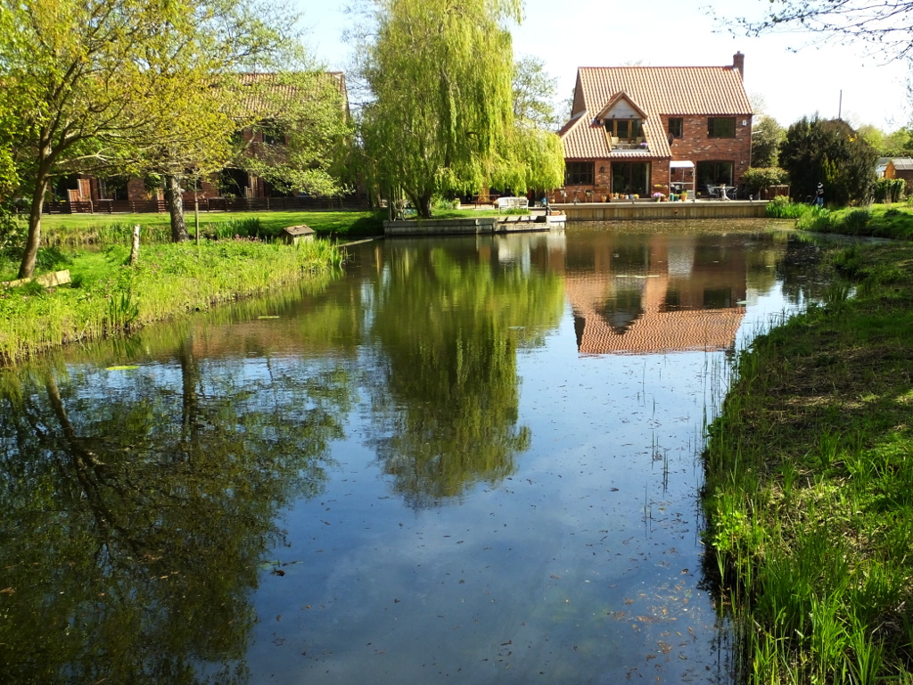
As we begin to cross the bridge to the island a look to the right lets you see the house. Given that it's both earlier in the year and because this was the third year in the cycle when the banks of the lake behind Ruston House are cleared, it's a very different view to that seen on the 2015 Tour.
Now we get a better view of the house with its new balcony. The decking across the back of the house was replaced in 2019, and the timber still has a golden hue. The quay heading around the lawn is now five years old, having been replaced soon after the 2015 tour was photographed.
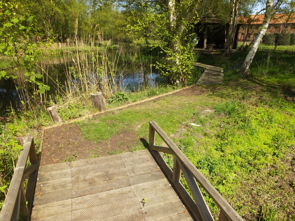
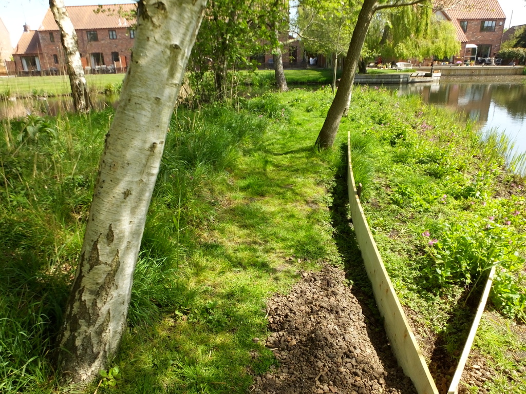
Given the difference in the time of year, the view at the end of the bridge is similar to that in 2015. In the last few weeks the path has been edged and fresh soil has been added to the pot holes in the path. Those were mainly caused by moles!
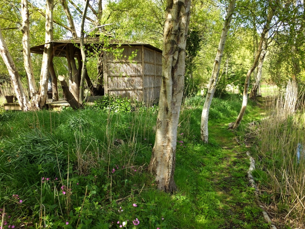
After making the sharp right turn at the end of the bridge, we face a junction. As in 2015 we'll take the right hand turn to proceed anti- clockwise around the island. Until a few weeks ago , this end of the bridge had a number of the old balustrade panels defining the edge of the path ahead, but the posts keeping them upright had rotted and instead they have been buried under the path near the reed bed as a way of raising it slightly.
This next image shows "work in progress"! In 2015, this section of the path had just received a fresh layer of chippings. Over the last five years the edging of the path, which was just a few pieces of branch had rotted away and the outside edge had begun to sink. The boards that you see here, were laid to test to see by how much the path needed to be raised and what height of edging was needed. You also see a barrow full of "soil" taken from the reed bed. In fact, rather than soil, it is mainly consists of crushed brick and cinders.
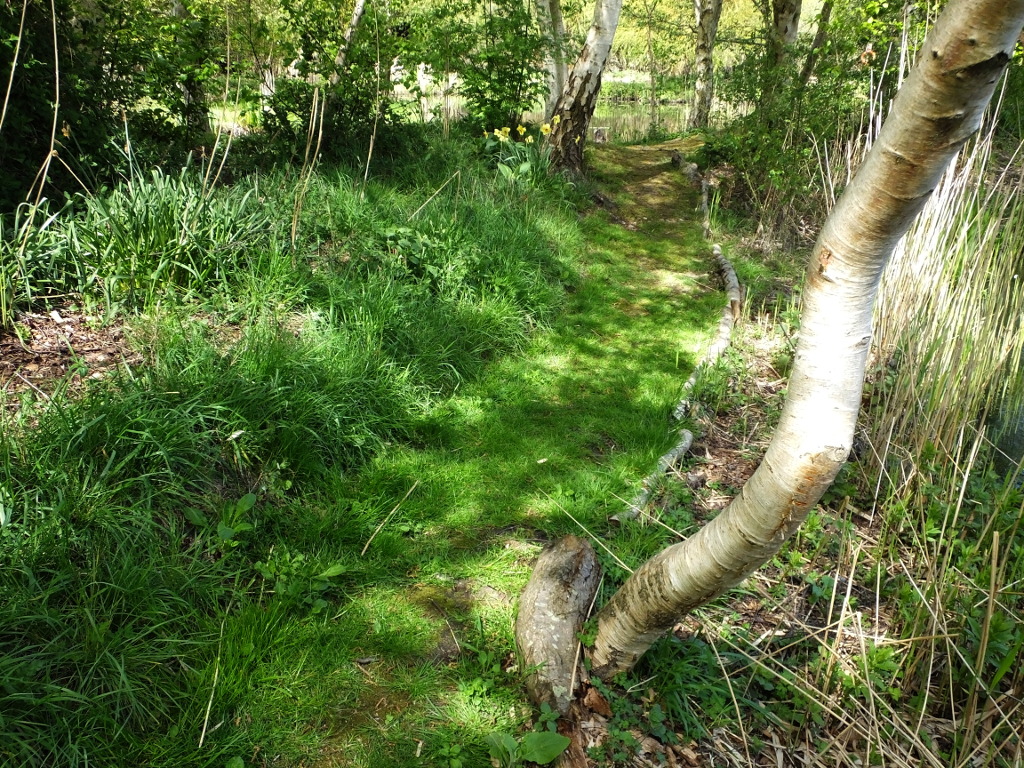
In July 2015, on this stretch of the path, there still existed "The Long Barrow" as we called the ten yard long, three foot high, pile of vegetation cut from the island the previous December. It took another three years for it to rot away to nothing. As you see, the ground to the right of the path is now several inches lower than the path, rather than being feet higher.
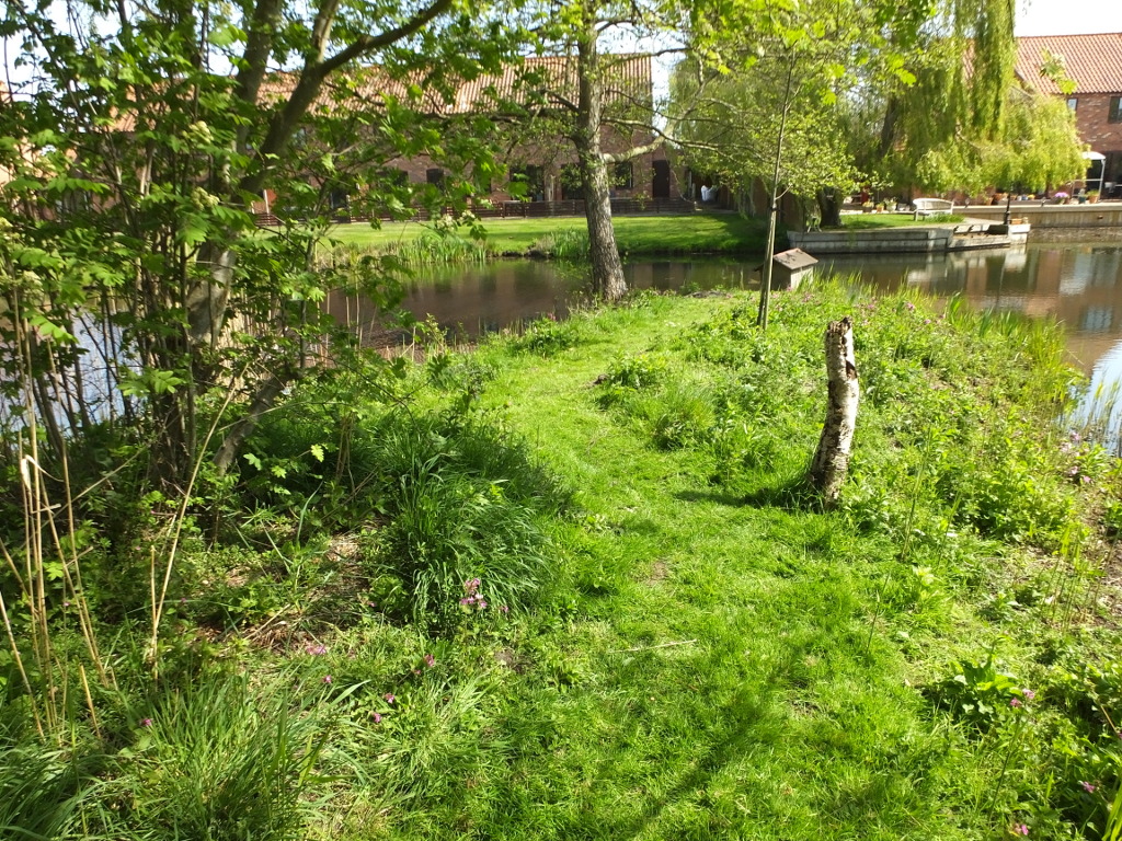
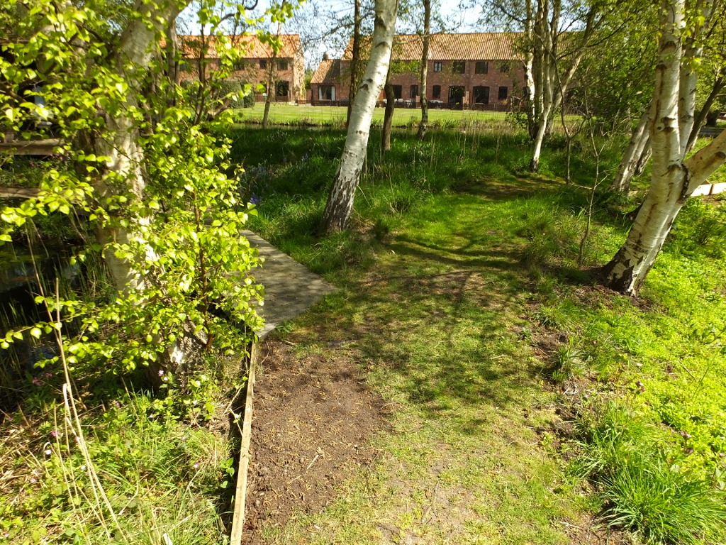
Climbing slightly to the spur path to the Duck House, it surprises me that the birch tree stump still stands here - though it's definitely weaker than it was!
The new chippings on this part of the path have long since disappeared. now it's all grass, plus the remains of mole hills. The Mountain Ash that we planted in 2014 is still nothing but a thin twig - although alive. It's probably got a few more years fighting for water with all the quicker growing annuals before it comes into its own.
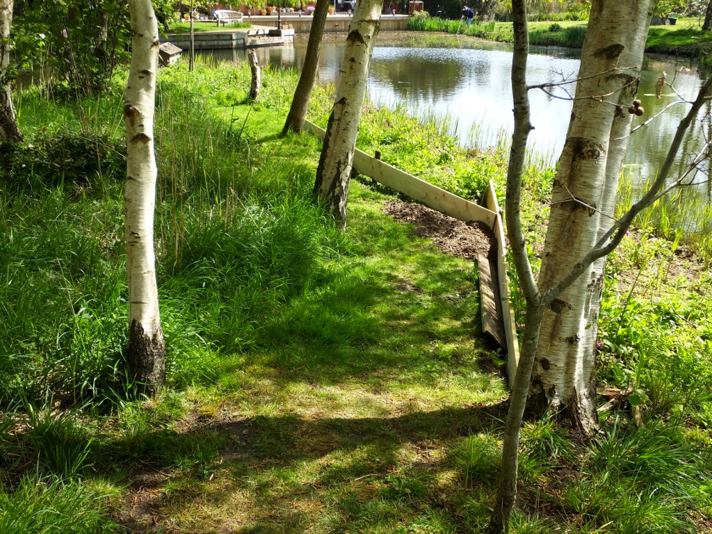
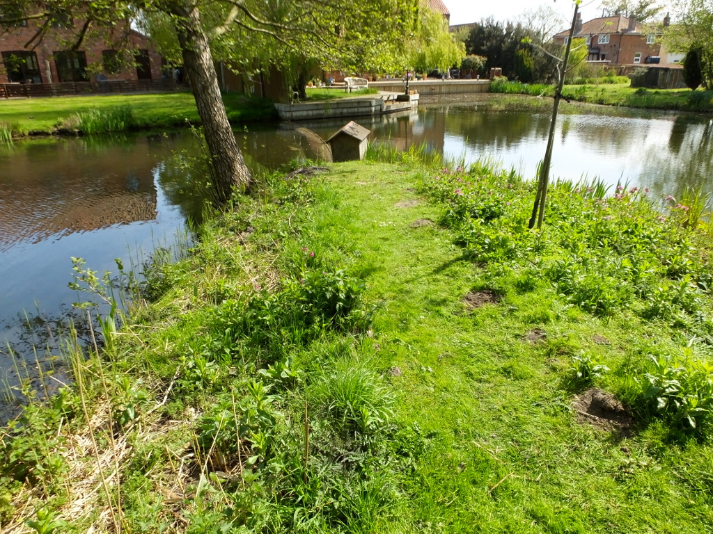
Although not scheduled for a chop down of the waterside reed last winter, it did take a bit of a hammering as work dragging the lake bed for lily root took place. but there is every reason to expect it to be back as thick as ever by the height of summer.
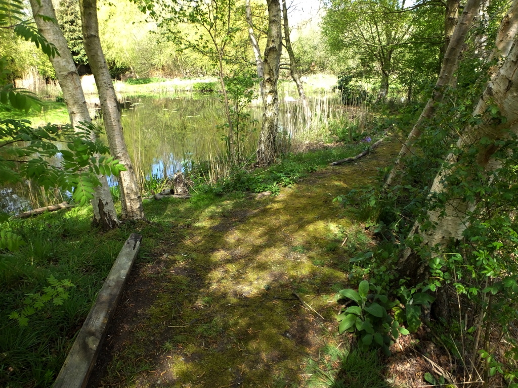
Compared with the equivalent image in the 2015 tour, the camera here is swung to the left to place the path to the right of the picture. And there's every reason to do that. Since the 2015 "The Tree House", has been built. However, I'll save more information about that until we are round at the front of the building.
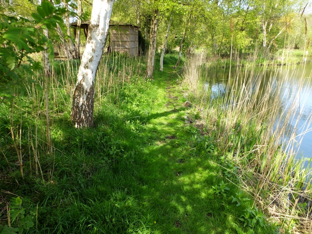
Here's another image worth of direct comparison with the 2015 tour. It shows that a path will grass over naturally. In 2015 it had only just be dug and had a bare earth surface and the chippings to surface this part had run out.
Having said a path will grass over, that does depend on conditions. Here at the high point of the island paths we see that rather than grass, the path surface is mainly moss - something I associate with damp conditions. Clearly I have something to learn as I always thought this, being high, was someof the driest land on the island.
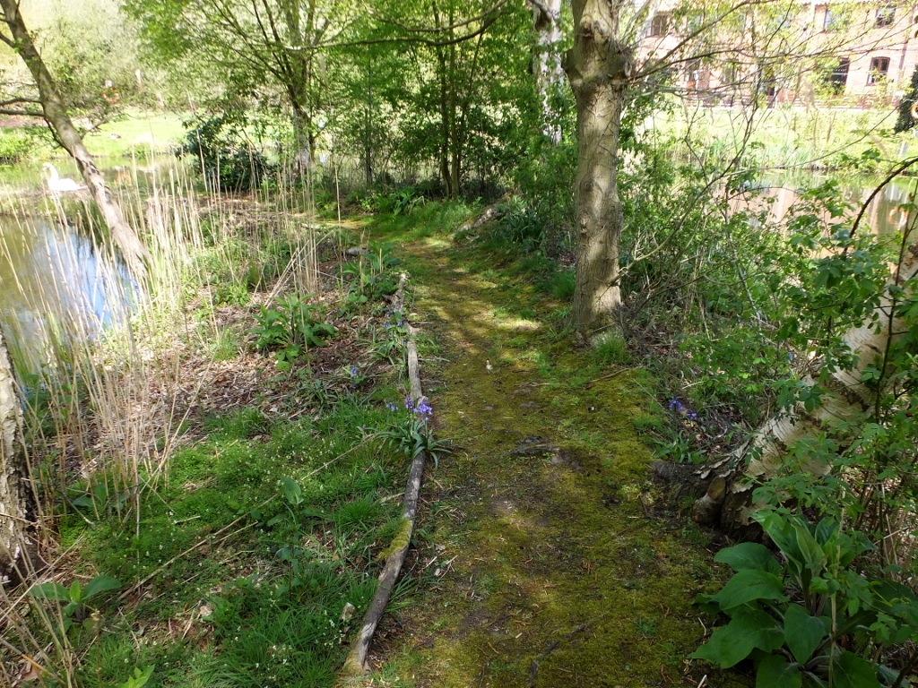
The path continues to be moss rather than grass as we gradually drop to the northern tip of the island. A lone bluebell is still in flower. Although brambles predominated in the summer picture five years ago, over the years there have been attempts reduce their number on the island. It seems that in 2020 we can expect a good crop of Foxgloves.
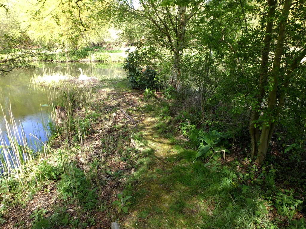
This tour includes an extra image! This is the fourth year that the swans have nested on the tip of the island. I wasn't sure whether I would disturb the pen on her nest, so I took one on the way down to her.
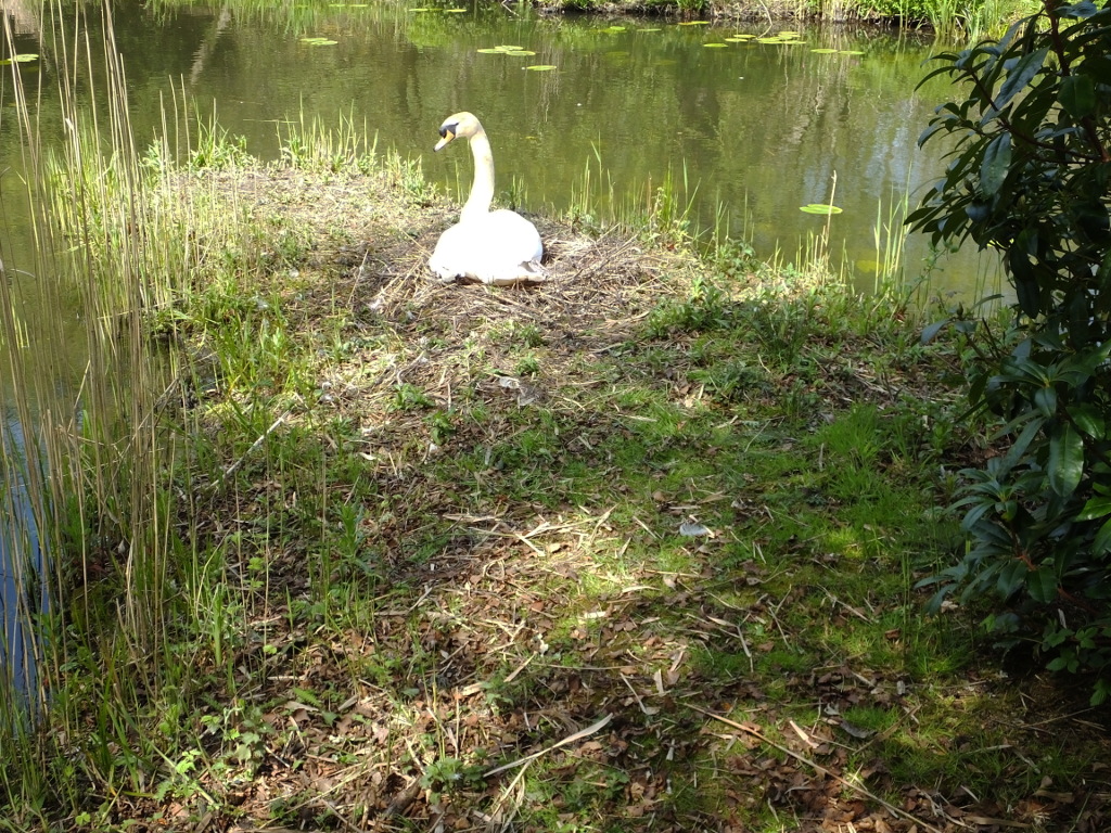
I should not have been so worried! She was quite relaxed at my approach. Because of the work on clearing lilies which has felled most of the reeds in this area, the nest is a little more exposed than in previous years. I was concerned that the pair not not want to use the same site again.
This year is unusual as we have two pairs of Canada Geese near-resident on the lake. One pair come with four rapidly growing goslings and the others, perhaps too young, have not even attempted to nest. In all previous years the cob has chased away all geese as soon as the pen started nest building, evening killing the goslings of the geese who nested earlier, forcing the parents to abandon the lake.
